

The Smart Hexa


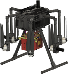
The AI Quad
We’re about Creativity and Innovation

Highly Qualified Team
Engineers graduated from prestigious institutes gathered together to work on future autonomous technologies.
Read More
Indigenous Manufacturing
Working on to build the environment for manufacturing the aerospace cutting edge tech in India.
Read More
Reaching Every Community
In a pursuit of taking our technology to every doorstep to help them get better returns on their investment.
Read MoreWhy Latrics Aerospace
Easy to Transport
Comes with lightweight & compact transport case.
Compact Design
The entire ready-to-fly set-up can be assembled in jiffy.
Plug & Play Payloads
Supports the multiple payloads with plug & play option.
High Endurance
Built to get long endurance to help you harness more data.
Easy to Operate
No prior experience or knowledge is required to operate.
Life-Time Support
Life-time online support would be provided to all customers.
Our Products
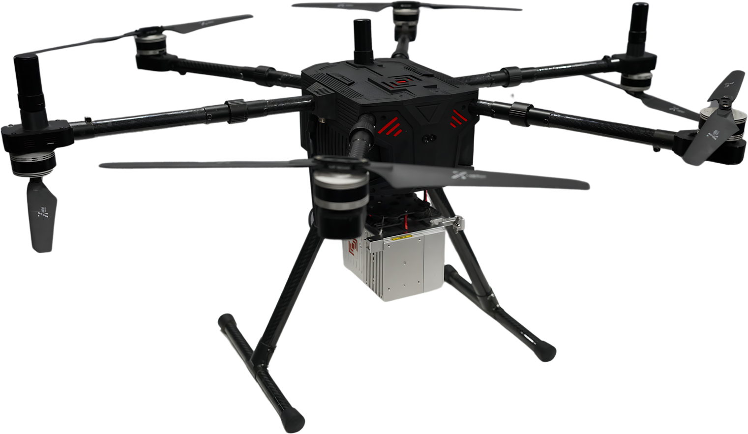
LiCopter
Experience unmatched performance with Licopter, featuring an advanced LiDAR sensor and a 26MP camera, ideal for precision aerial mapping and surveying.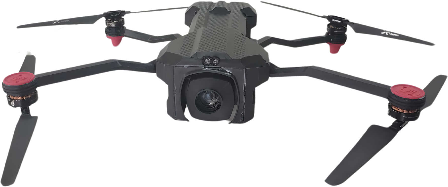
Guardian
Experience AI-based analytics with Guardian, a micro drone with a 4K zoom camera and 4G/5G streaming, perfect for security & monitoring.Applications
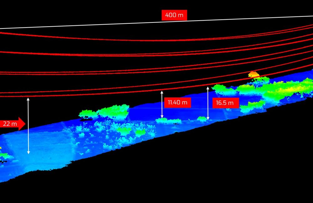
Power line Inspection:
- Accurate Vegetation Management
- Enhanced Safety & reduced time
- Detailed 3D models
- Fault Detection
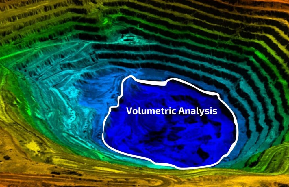
Construction & Mining:
- Accurate Terrain Mapping
- Detailed Site 3D Survey
- Volumetric Analysis
- Safety Compliance
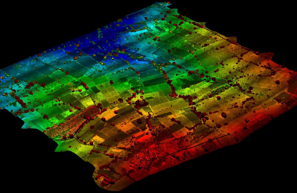
Agriculture & Insurance:
- Vegetation Density Analysis
- Accurate Topography
- Crop & Soil Analysis
- Biomass Estimation
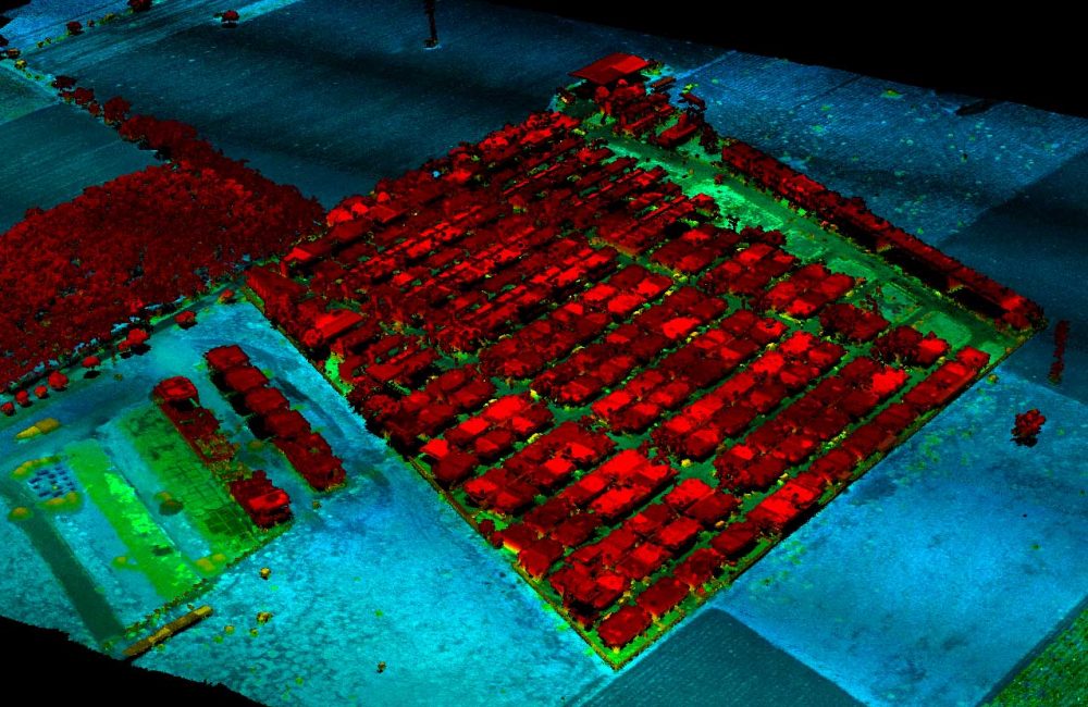
Survey & Mapping:
- Geo-Referenced Outputs
- Volumetric Estimations
- High Resolution Data
- Cm Level Accuracy
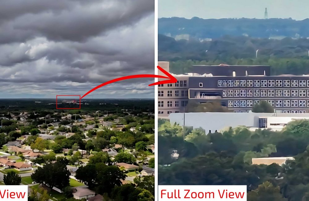
Security and Surveillance:
- Anti-Poaching Ground Team Assistance
- Fence Line Security & Inspection
- Surveillance & Reconnaissance
- Monitoring & Patrol
Disaster Management:
- Enhanced Situational Awareness
- Search & Rescue Operations
- Infrastructure Inspection
- Loss Assessment

Latest News
- December 13, 2022
- December 20, 2022
suffered alteration in some form, by injected humor, or randomize.
- December 25, 2022
suffered alteration in some form, by injected humor, or randomize.
- November 13, 2021
suffered alteration in some form, by injected humor, or randomize.
- October 13, 2020
suffered alteration in some form, by injected humour, or randomised which don't look even slightly.


