

1100×560

1100×560

1100×560
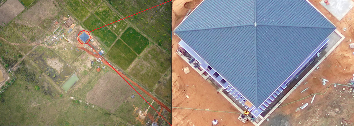
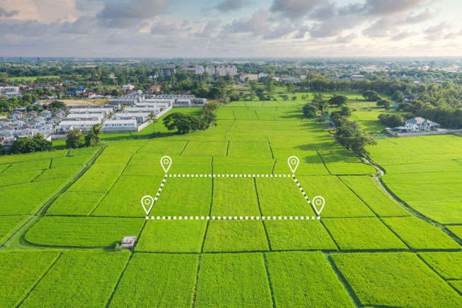
Before starting any project, the engineers need to know the existing topography of the land for planning the roadmap of any project and from where does the topography come? Well, it comes from the post-processing of the aerial survey data. So technically survey is the first step before engineers can start any project.The survey is not a new term or technique. Surveyors have been around for centuries, and while their methods and tools have been changing as technology is changing but the underlying principles of measurement and mapping are still the same today. The only impact technology has made is increasing speed and improving accuracy.
Current drone technology makes it possible to carry out a topographic survey with improved accuracy and in a fraction of the time compared to traditional methods which leads to reduced cost & workload substantially.
How our drone system can help:
- Mechanical shutter that eliminates rolling distortion
- Dual-frequency transmission to avoid interference
- 12MP stills in 14fps bursts
- Mechanical shutter that eliminates rolling distortion
- Dual-frequency transmission to avoid interference
- Active-Track for locking onto and tracking subjects in three modes
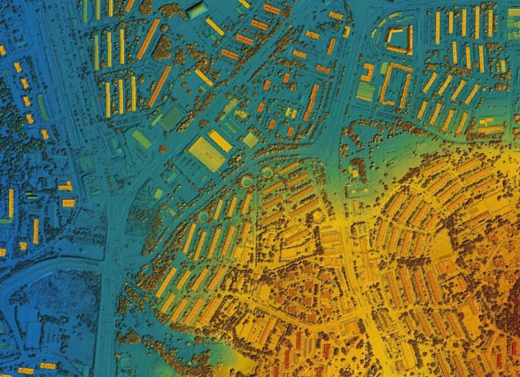
Post processing data:
- RGB sensor: Our drone system is compatible with 16MP to 61MP cameras, which are capable of producing very accurate geo-referenced Orthomosaic maps, 3D point cloud, Digital Surface Model (DSM), Digital Terrain Model (DTM),3D textured mesh and contour lines.
- Multispectral sensor: Our drone system is compatible with 5 bands multispectral sensor, which are capable of producing very accurate NDVI, Color Infrared, NDRE, OSAWI and Chlorophyll map.
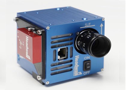
- Lidar sensor: Our drone system is compatible with a 720000 Points/sec and Update frequency up to 200 Hz, which is capable of producing very accurate topographical maps and volumetric estimation.
- Thermal sensor: Our drone system is compatible with up to 7.5 – 13.5 µm Spectral Band thermal sensor, which is capable of producing thermal maps for survey complexes, water lines, cities, and military bases. Hot water lines, supply water mains, supply steam pipes,
RGB Camera
- Ranging from 20MP to 61MP
- High Resolution Data
- Upto 1cm GSD @120m
- Remotely On/Off Feature
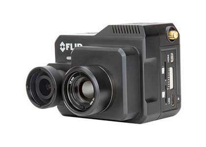
Thermal
- Ranging from 25FOV to 69 FOV
- Upto 9Hz Frame Rate
- High Resolution Data
- 7.5 – 13.5mm Spectral Band
Multispectral
- 5 Multispectral bands
- 50* HFOV * 38* VFOV
- Upto 5cm GSD @120m
- All-in-One System
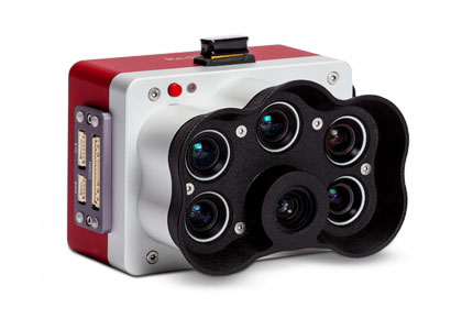
Hyperspectral
- Spectral Range 400 – 1000 mm
- 300+ Spectral Bands
- Frame Rate uoto 60
- Spectral Sampling 2.0mm/pixel