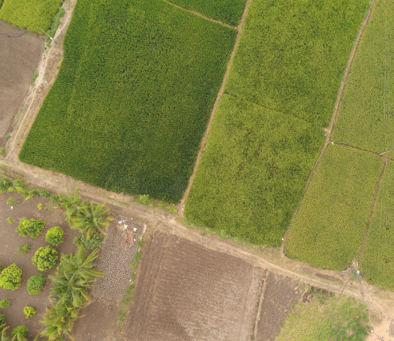
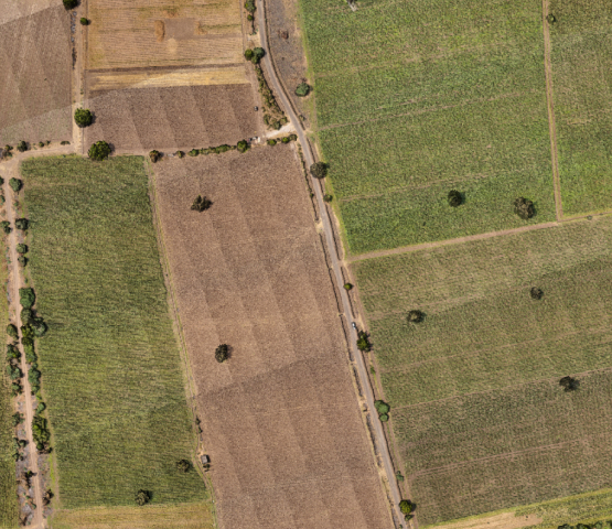
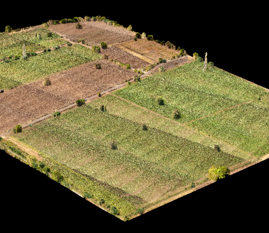
Agriculture contributes roughly 14% of the India’s total GDP and has almost 40% of country’s workforce, as the population grows it makes the agriculture sector the most important and least developed sector for India.
To support agriculture sector, there is a technique called Precision agriculture which is a farming management concept, that uses data to ensure crops & soil receive exactly what they need for optimum health & productivity.
How does it work?
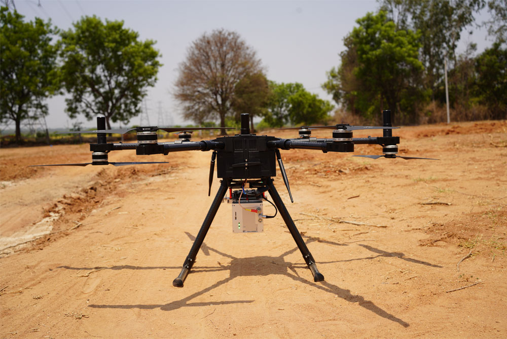
Our drone is equipped with a high-resolution RGB & hyperspectral camera and autonomously flies over agricultural land and collect the data. After post-processing the data taken by the onboard sensor, we get:
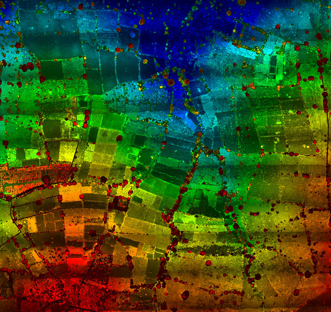
- The NDVI images, which estimate the crop yield, nutrient content, and differences in water content in soil and plant vigor.
- The color infrared processed images, to check variability in soil moisture, identify the water bodies, assessing plant health & soil composition.
- The NDRE Images & Chlorophyll map, to detect stress, fertilizer demand, chlorophyll content, identify healthy crops, & nitrogen uptake in soil.
- The OSAWI images, to use in areas of high plant density where NDVI saturates.
- These data will be used to minimize NDVI’s sensitivity and the DSM data, to estimate the crop volume, identify surface properties, and model water flow & accumulation.
This technique will help the farmers to get the maximum benefit from their crops but there is no technique which can prevent the bad weather and natural calamities.
Almost 40% of the farmers report yield losses every year due to bad weather and natural calamities and to resolve this issue central government launched the crop insurance scheme called Pradhan Mantri Fasal Bima Yojna (PMFBY). Almost 30 million farmers (25 percent of households) are covered today by the Indian crop insurance program. The PMFBY aims to expand the coverage of farmers across the country to 50 percent of farming households in the span of the next 2 to 3 years but there are a few challenges.
Crop loss assessment challenges
Loss Calculation
Accurate loss or damage assessment is the most important component of an insurance scheme for all stakeholders.
Time
CCEs need to be generally conducted within 15-20 days in a season, there will be a massive need for trained manpower to manage, monitor, and report them in time.
Money
There are around 2.3 lakh village panchayats. Assuming that 40 lakh CCEs needs to be done and each costs a min of 1000Rs, it would total to 400cr every year to conduct CCEs.
How our system can solve these challenges?
Yield Estimation
This will be done using Artificial intelligence & machine learning algorithm with computer vision techniques by analysing the NDVI, NDRE & OSAWI images generated after post-processing.
Damage Calculation
This will be done by efficiently comparing the current calculated yield data (after flying) with the average CCE of that village panchayat.
Feedback
With the help of machine learning algorithms and post-processing data (NDVI, CIR, NDRE, OSAWI, and DSM images/maps), we can also find out the stresses in crops and suggest the best solution for that scenario.
This clearly states that our system does not mean only detecting the problems or estimating the loss but it is an end-to-end system that also suggests the best solution possible for that particular problem or disease

