
Enhancing Disaster Management with Advanced Drone Technology
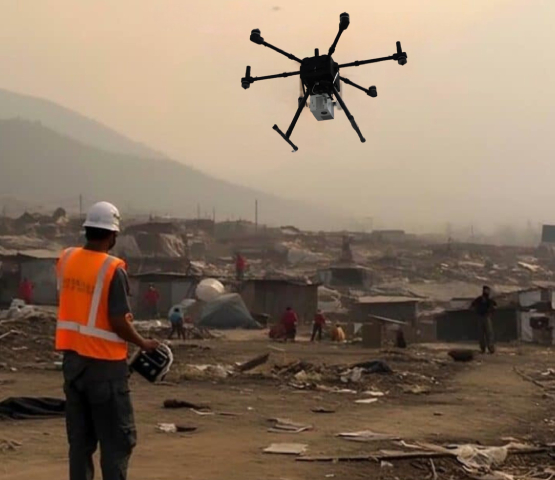
In the face of natural and man-made disasters, timely and accurate information is crucial for effective response and recovery. Advanced drone technology, equipped with zoom camera, thermal camera and LiDAR sensors combined with AI analytics, is revolutionizing disaster management. These drones offer unparalleled capabilities in assessing damage, planning recovery, and ensuring the safety of responders and affected communities.
The Role of Guardian in Disaster Management
Drones equipped with high-resolution zoom cameras or thermal cameras play a pivotal role in disaster management:
-
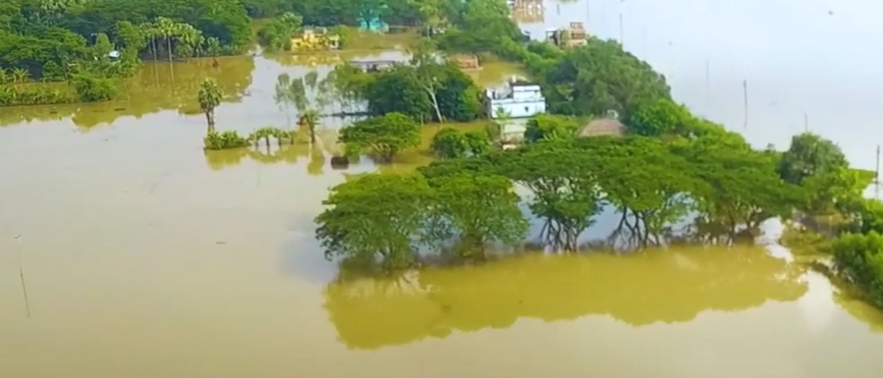
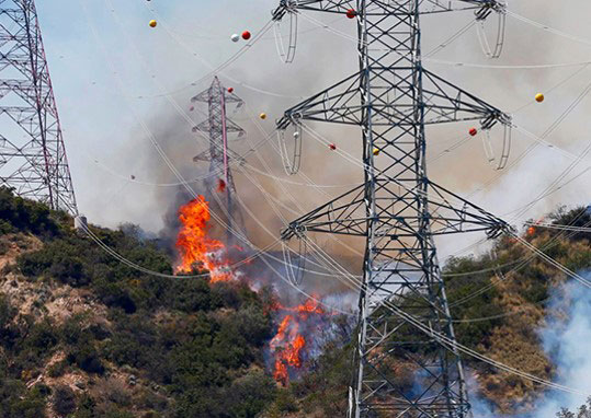
Rapid Damage Assessment
a. Detailed Visuals: Zoom cameras provide high-resolution images and videos, capturing intricate details of the disaster-affected areas.b. Wide Coverage: These drones can cover large areas quickly, providing a comprehensive overview of the situation.
-
Real-Time Data Transmission
a. Immediate Insights: Live streaming capabilities ensure that responders receive real-time updates, enabling swift decision-making.b. Remote Monitoring: Authorities can monitor the situation from a safe distance, minimizing risk to personnel.
-
Search and Rescue Operations
a. Identifying Survivors: AI-powered image analysis can identify people trapped in debris, guiding rescue teams to precise locations.b. Tracking Movement: Drones can follow moving objects, helping track the flow of evacuees or movement of hazards.
-
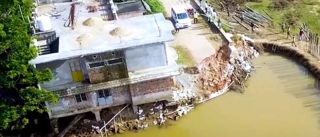
Infrastructure Inspection
a. Assessing Damage: Zoom cameras help in inspecting critical infrastructure like bridges, buildings, and roads to determine the extent of damage.b. Safety Checks: Ensuring structures are safe before allowing re-entry or use.
The Power of LiCopter in Disaster Management
LiDAR drones complement zoom camera drones by providing detailed 3D maps and models of the affected areas:
-
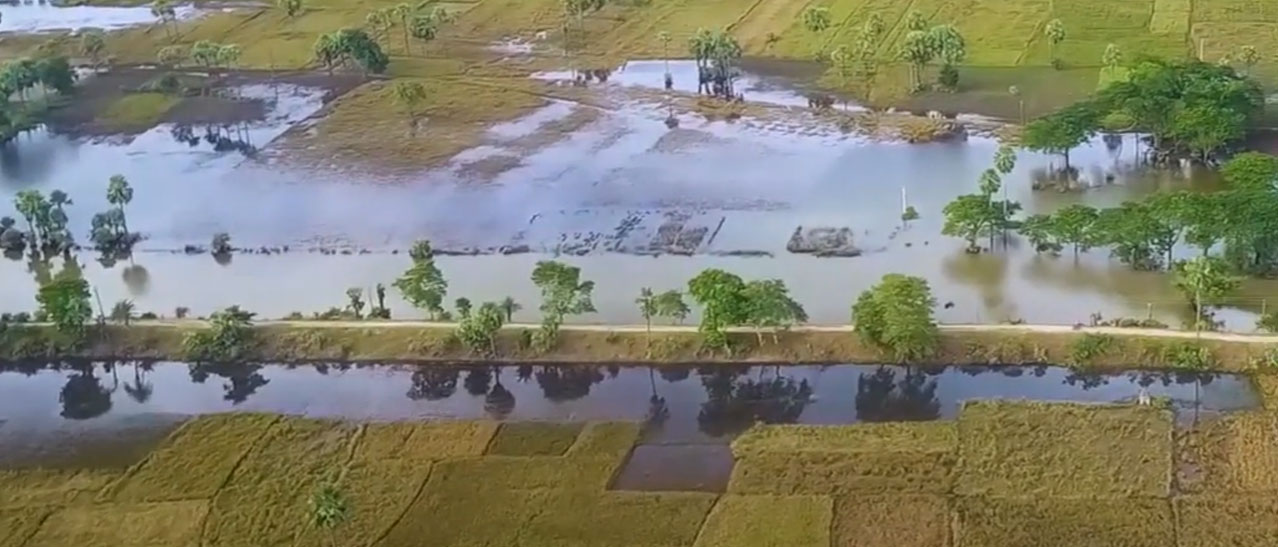
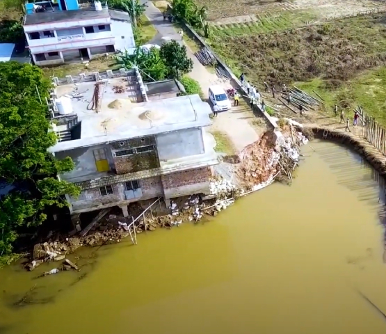
Precise Terrain Mapping
a. Topographical Data: LiDAR drones generate accurate 3D maps, essential for understanding changes in terrain caused by disasters.b. Elevation Models: These models help in planning flood defences or identifying landslide-prone areas.
-
Assessing Structural Integrity
a. Detailed Analysis: LiDAR provides detailed information on the structural integrity of buildings and infrastructure, highlighting areas at risk of collapse.b. Volume Measurements: Accurately measure debris volumes to plan removal operations.
-
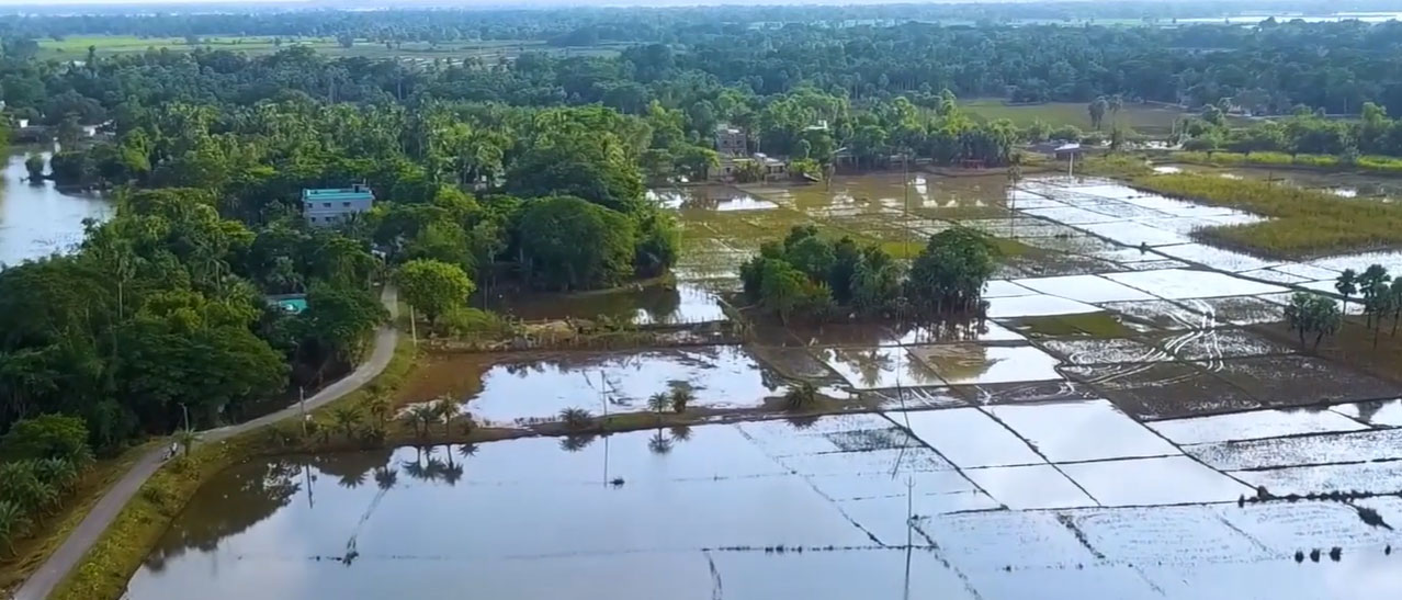
Environmental Monitoring
a. Vegetation and Water Bodies: Monitor changes in vegetation and water bodies, crucial for understanding the environmental impact of the disaster.b. Hazard Detection: Identify potential hazards like unstable ground or damaged trees that could pose risks to recovery efforts.
-
Planning and Recovery
a. Resource Allocation: Use detailed maps to allocate resources effectively, ensuring aid reaches the areas most in need.b. Infrastructure Rebuilding: Plan the reconstruction of infrastructure based on accurate data, ensuring resilience against future disasters.
Combining AI Analytics for Enhanced Effectiveness
AI analytics amplify the capabilities of both zoom camera and LiDAR drones:
-
Automated Data Processing
a. Speed and Accuracy: AI algorithms process large volumes of data quickly, providing accurate and actionable insights.b. Pattern Recognition: Identify patterns and anomalies that might be missed by human analysts.
-
Predictive Analytics
a. Risk Assessment: Predict potential risks and hazards based on historical data and current observations.b. Resource Optimization: Optimize the deployment of resources based on predictive models, ensuring maximum efficiency.
-
Enhanced Decision-Making
a. Comprehensive Analysis: Combine data from zoom cameras and LiDAR sensors for a holistic view of the disaster area.b. Informed Strategies: Develop informed response and recovery strategies based on accurate, real-time data.
Conclusion
The integration of zoom camera and LiDAR drones with AI analytics is revolutionizing disaster management. These advanced technologies provide critical insights, enhance safety, and improve the efficiency of response and recovery operations. As disasters become more frequent and severe, leveraging these innovative tools is essential for protecting lives, property, and the environment. Embrace the future of disaster management with our state-of-the-art drone technology, ensuring you are prepared to face any challenge.