High Power Line Inspection with LiDAR-Equipped Drones
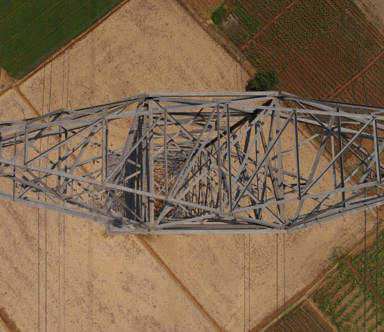
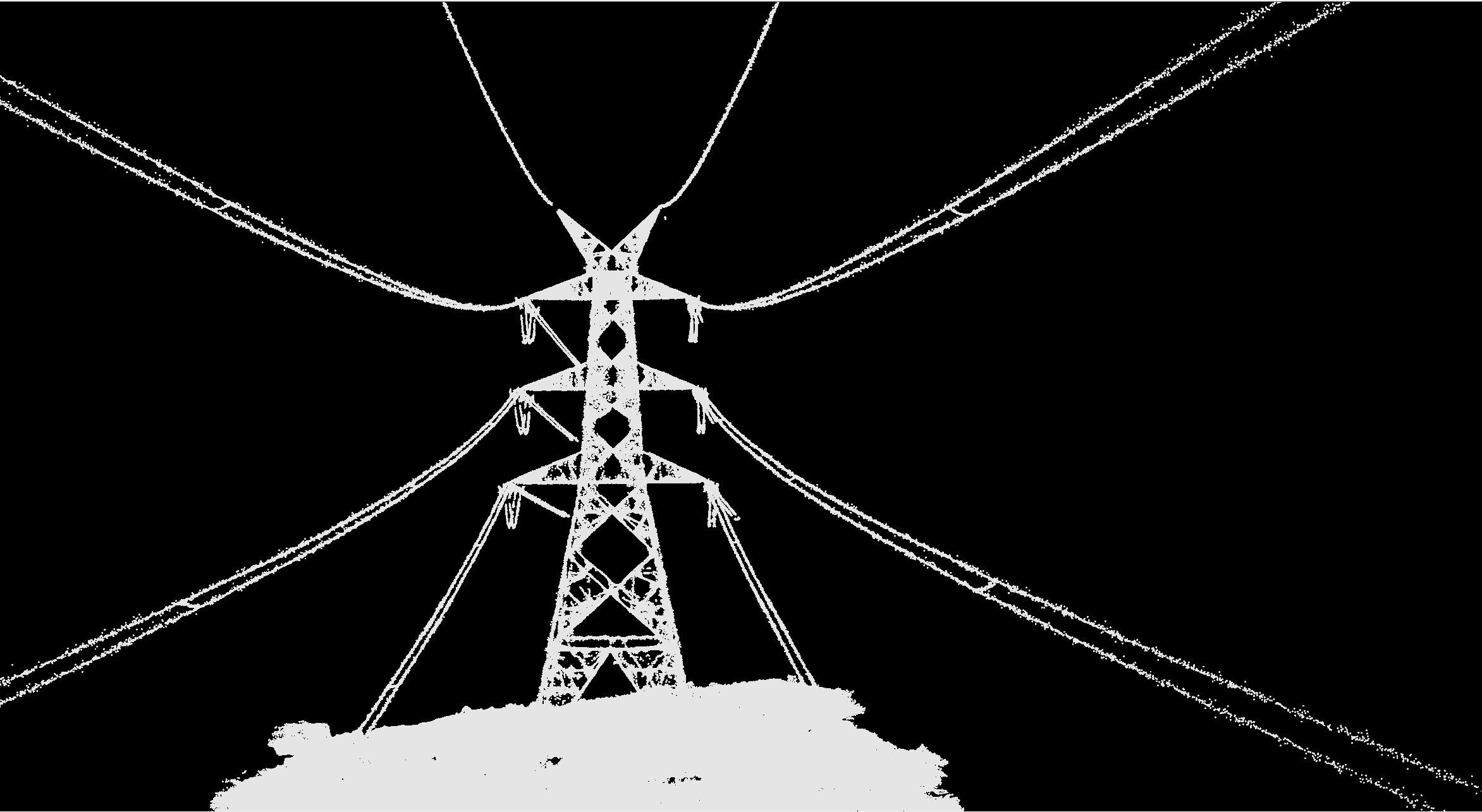
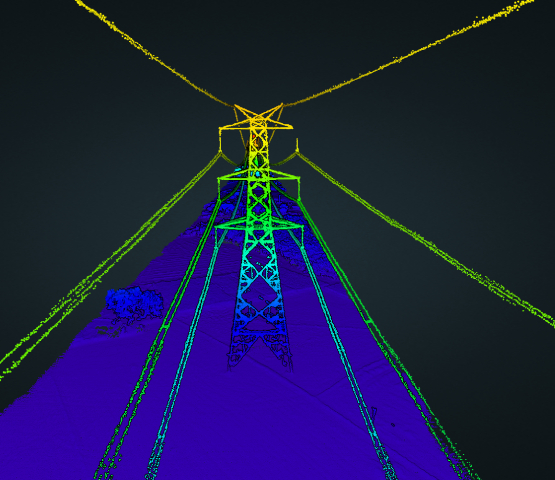
The utility industry is increasingly recognizing the transformative potential of LiDAR-equipped drones. These advanced drones are not only revolutionizing monitoring but also enhancing inspection, maintenance, and operational efficiency of high power lines. Power lines, crucial for delivering electricity over vast distances, require precise and constant oversight to ensure safety, reliability, and efficiency. LiDAR drones provide high-resolution data, improve safety, and reduce costs, making them indispensable tools for modern power line management.
Why Choose LiCopter?
- Accessibility: Easily navigates hard-to-reach or dangerous areas.
- Cost-Effective: Lower operational costs and quicker deployment than manned aircraft.
- High-Resolution Data: Captures detailed and accurate data with LiDAR.
- Rapid Deployment: Provides real-time insights with quick setup.
Key Applications
-
Power Line Inspection
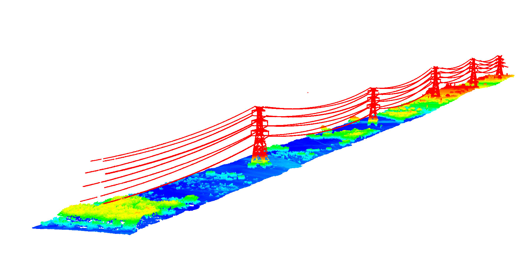
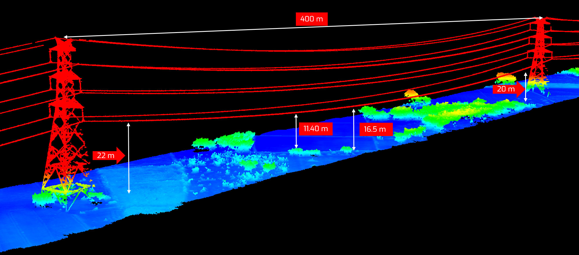
AI-Driven Analysis: Identifies sagging or damaged lines more accurately than traditional methods, detecting even minor anomalies.
-
Vegetation Management
Targeted Maintenance: AI-powered LiDAR and image analytics precisely identify encroaching vegetation, ensuring targeted trimming and increased network reliability.
-
Infrastructure Planning & Monitoring
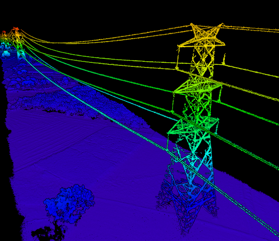
Detailed Surveys: Creates 3D models and comprehensive 2D/3D utility maps for tower planning and structural inspections.
-
Disaster Response & Recovery
Rapid Assessment: Quickly assesses damage, generates precise 3D maps, and provides detailed information for emergency responders.
Unmatched Benefits
- Cost Reduction: Lowers engineering and operational costs.
- Enhanced Safety: Reduces risks associated with vegetation near power lines.
- Operational Efficiency: Offers rapid deployment and operational savings without site control.
- Detailed 3D Reconstruction: Provides comprehensive digital outputs, enhancing data accessibility and usability.
Conclusion
