l-1
l-3


LiCopter: The Smart Hexa
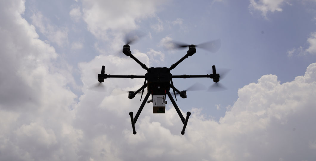
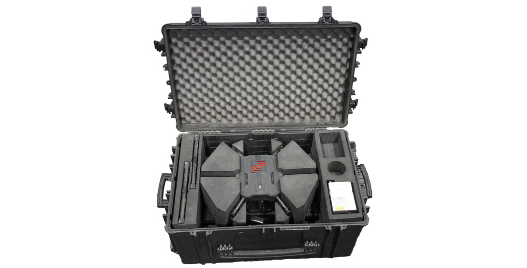
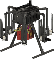
The heavy-duty hexacopter engineered for seamless heavy lifting. Available in two variants: one equipped with an advanced LiDAR sensor and a high-resolution 26MP camera, and the other with a high-resolution 61MP camera. Licopter is the ultimate tool for precision aerial mapping and surveying. Additionally, it serves as a reliable delivery solution (carrying up to 2.5kg load), offering versatility and efficiency across various applications.
Experience unparalleled performance and reliability with Licopter, your go-to solution for aerial operations.
60 minutes for 1 kg payload

Long-lasting Endurance
Communicate up to 10 km

Excellent Range
LiDAR and 26MP camera

Advanced Sensors
Can transport upto 2.5kg

Payload Flexibility
Integrated detect-and-avoid system

Cutting Edge Safety
GPS-based YAW to manage EM interference

Stable Orientation
LiDAR guided landing within 10 cm

Precision Landing
Dead reckoning with GPS denied environment

Enhanced Navigation
Technical Data
LiCopter Specs
LiDAR Sensor Specs
61MP Camera Specs
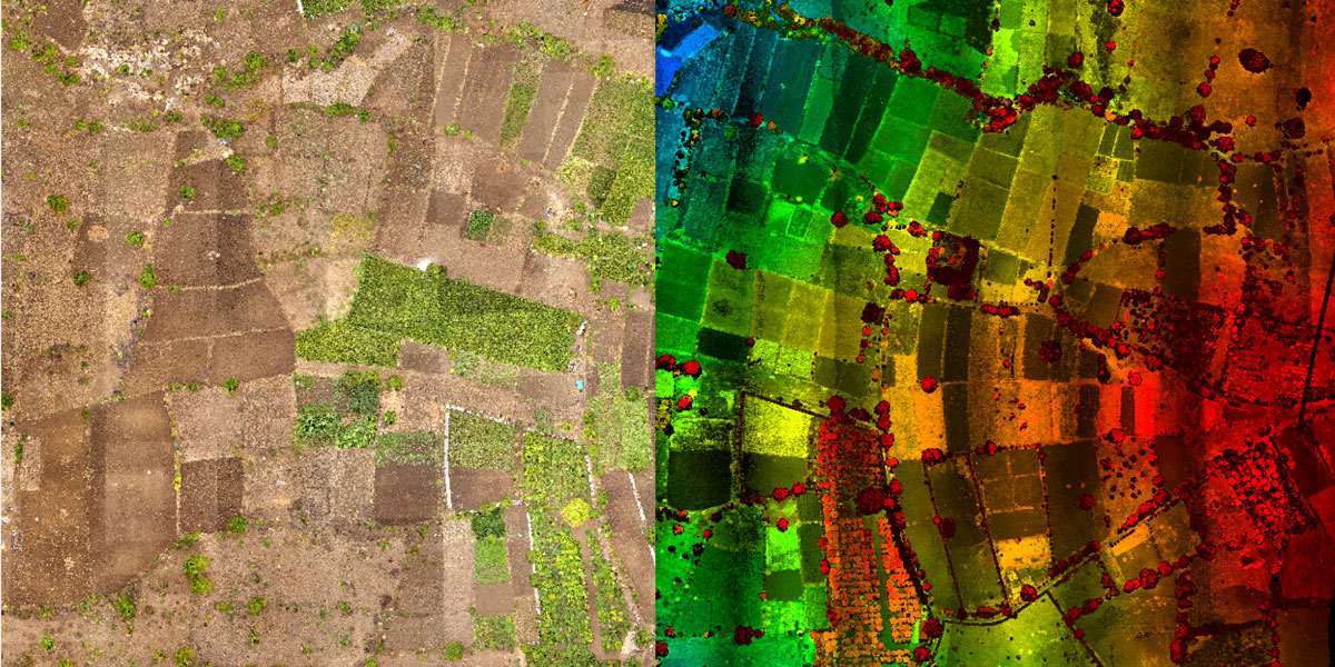
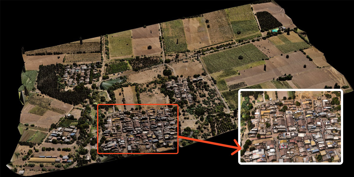
See the amazing details captured by LiCopter for yourself:
Attains 3D accuracy of within 10cm, making it well-suited for precise surveying and mapping tasks.
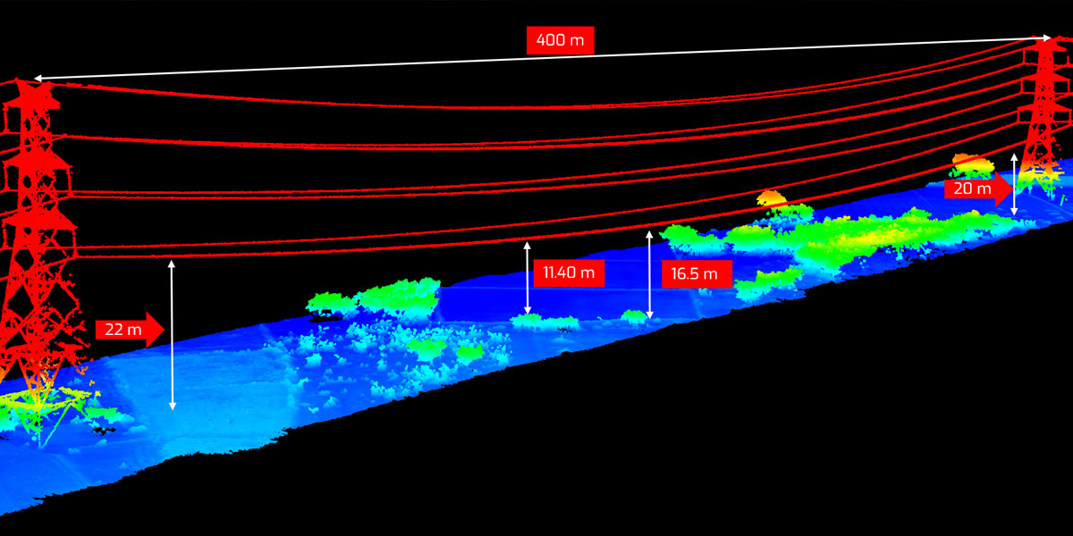
Delivers precise details essential for power line inspection, providing a cost-effective and efficient solution.
Delivers precise topographic data customized for agriculture, enabling thorough field analysis.
